New Radar Inspections mission support alpha
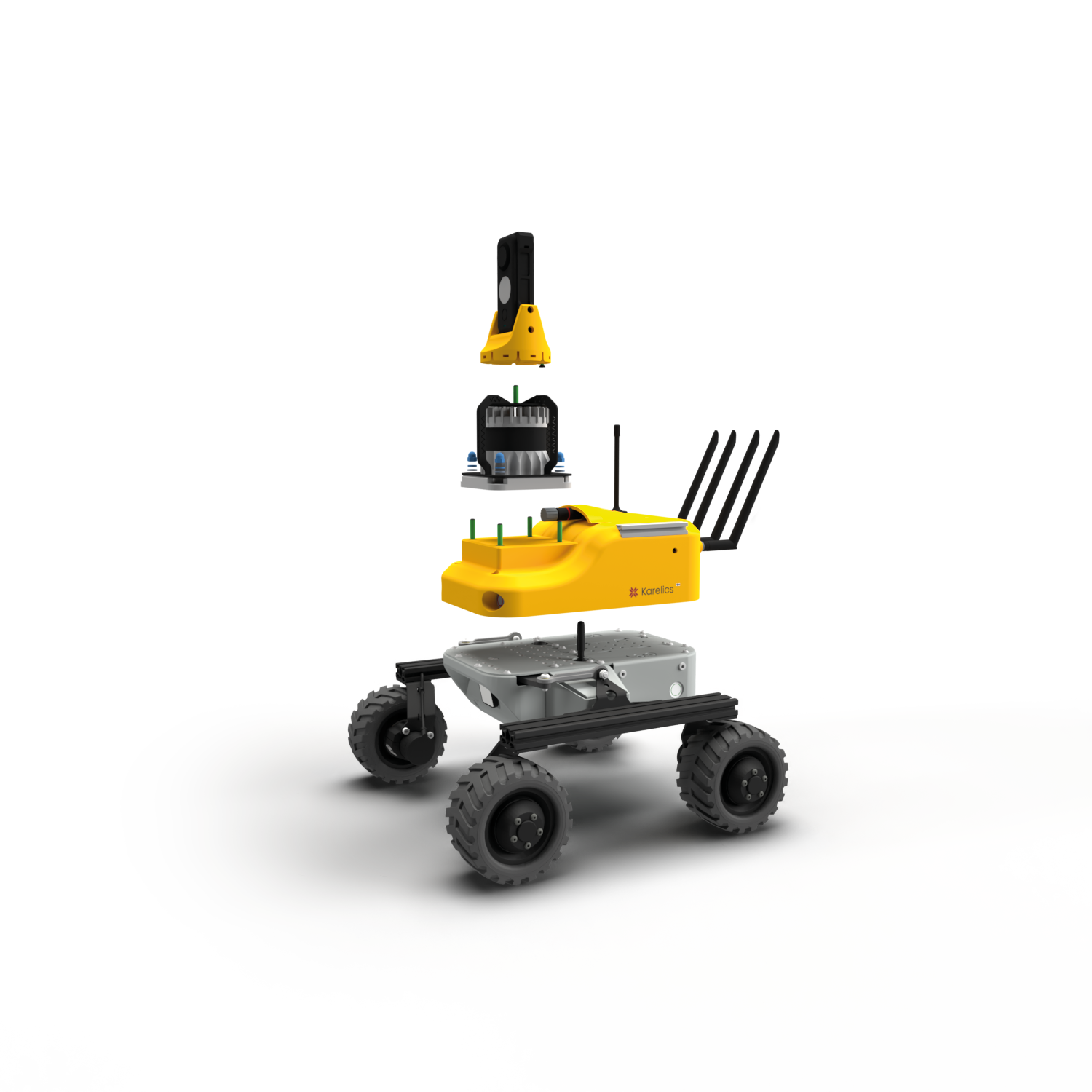
- Introduced a “Radar inspection” block with a specialized interface.
- Added support for visualizing data from radar inspections.
Photo Documentation Improvements
Blur Faces in 360 Photos
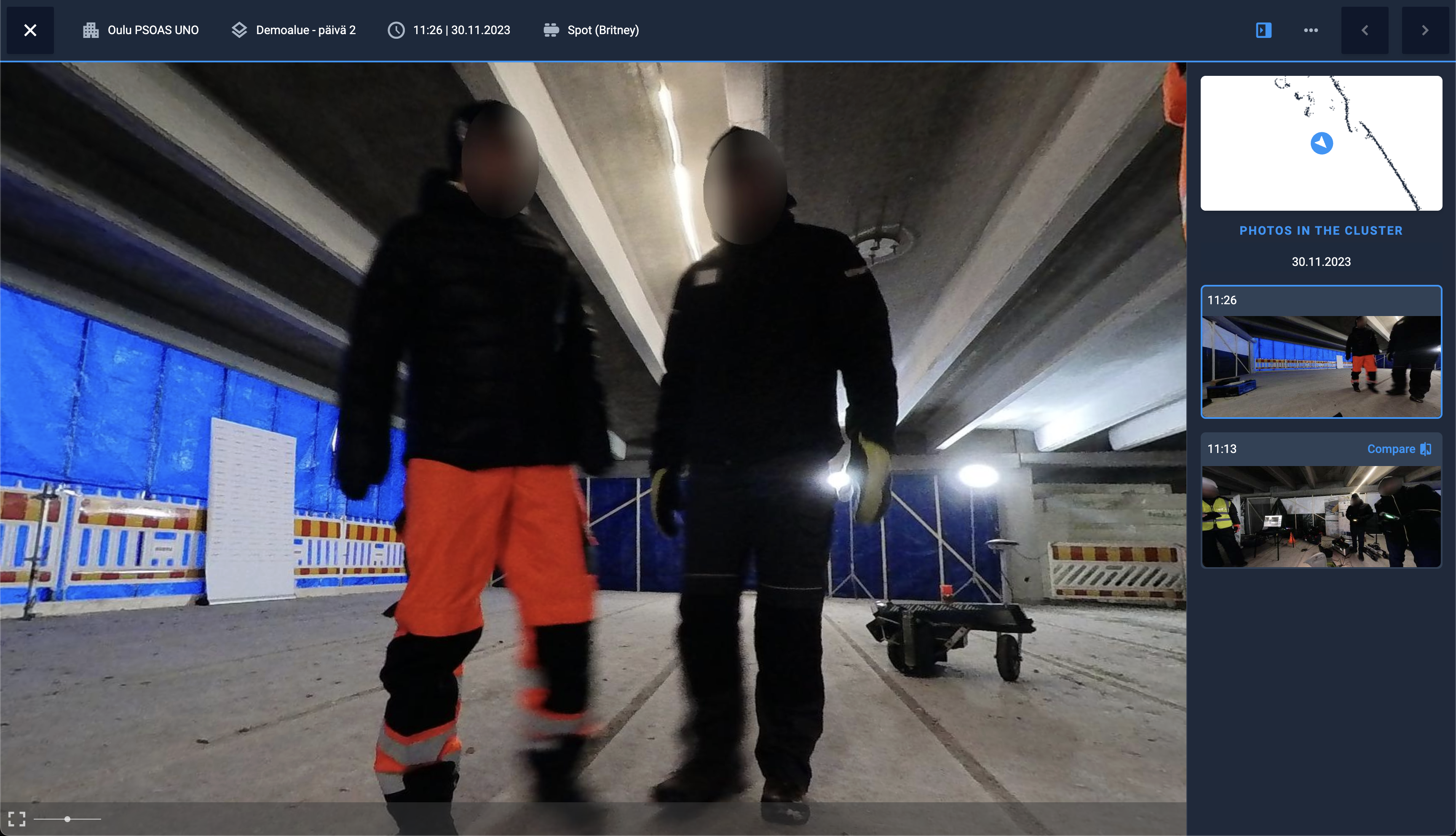
We value privacy. Implemented face blurring functionality for 360 photos.
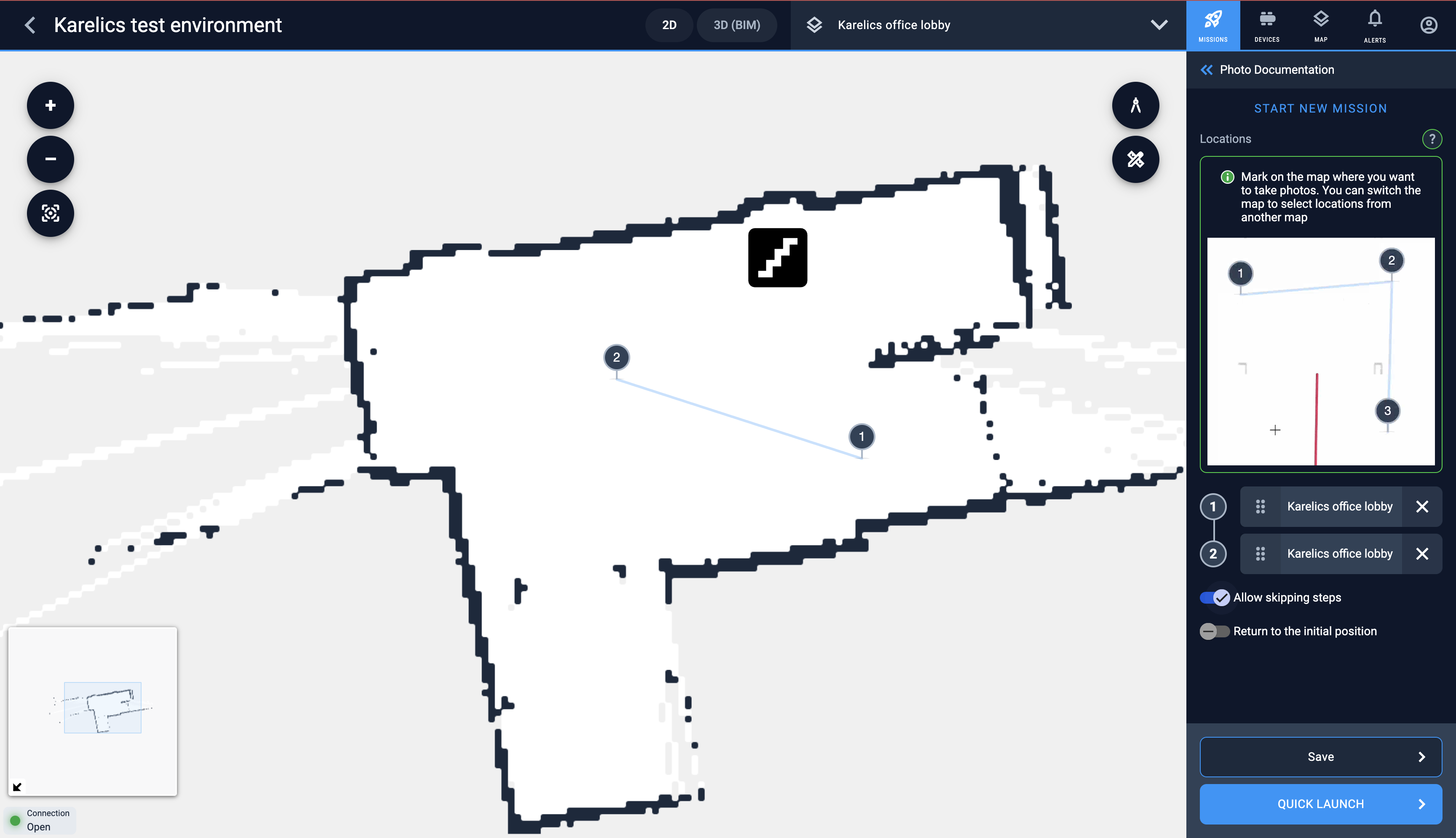
Option to skip unreachable points
Highlighting the similar photos or photos with some difference beta
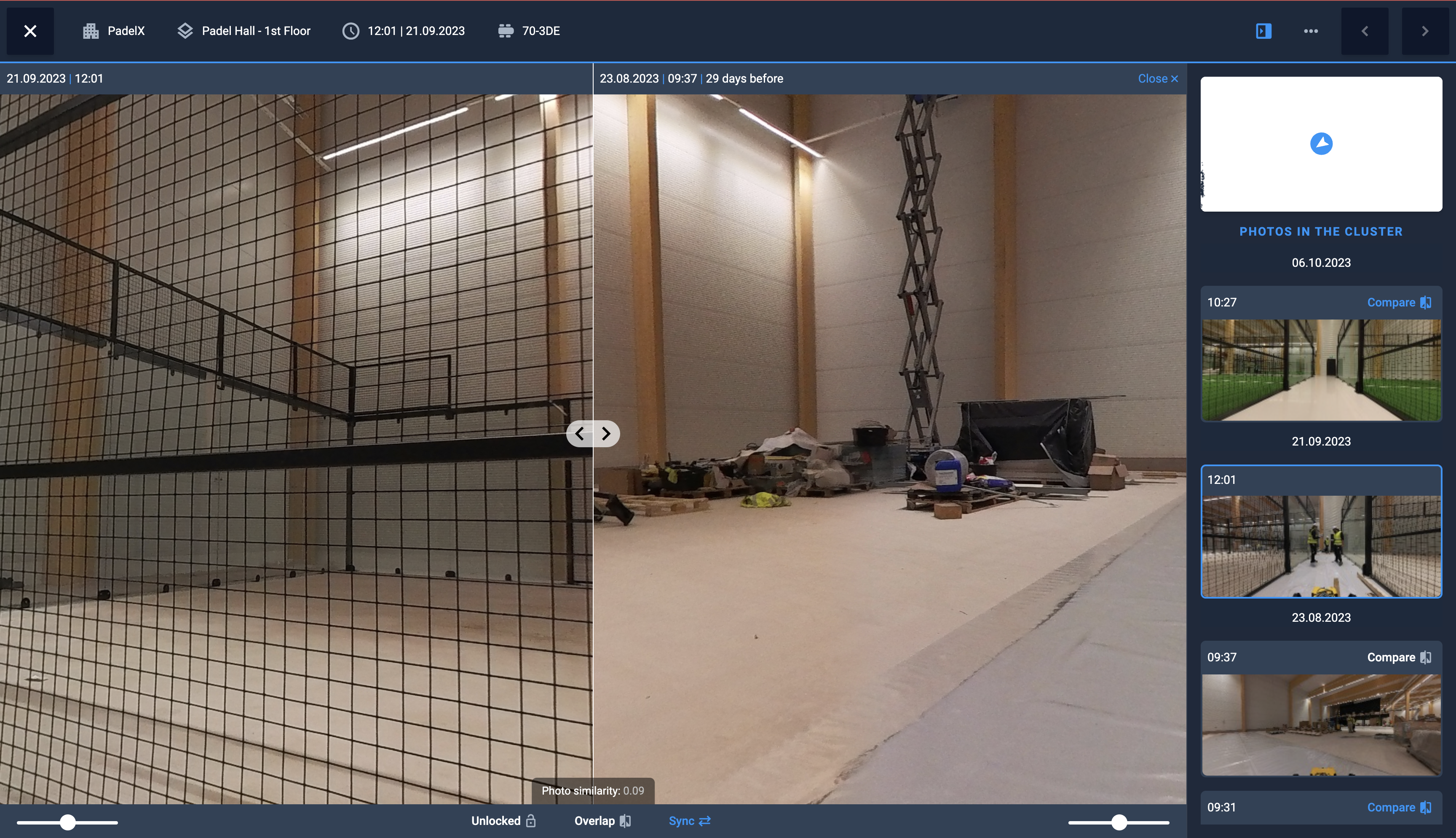
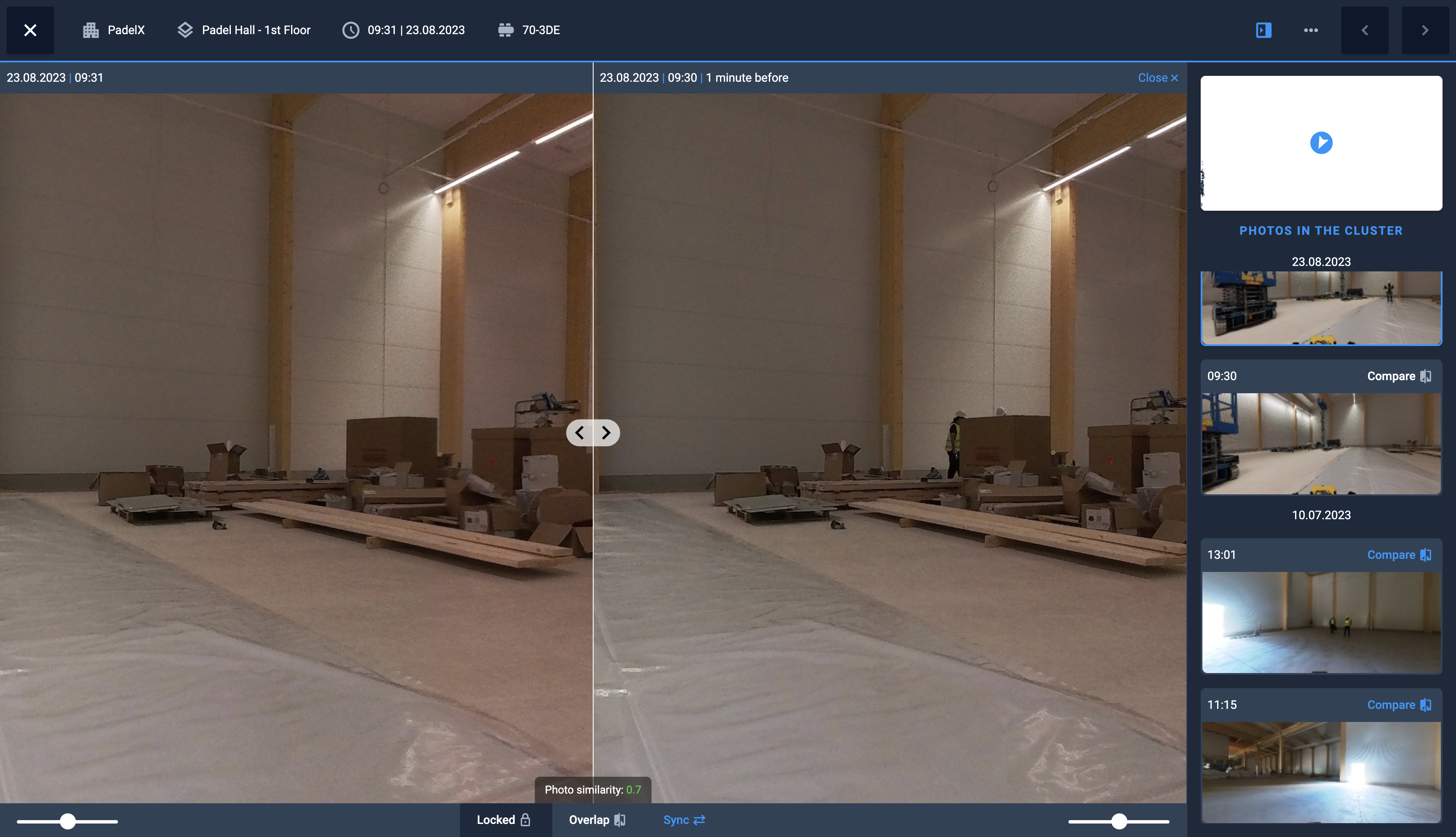
Now when 2 photos are compared and they were done from the same place we show some indication for a user how similar these photos are. If there is a significant change – maybe the construction manager should pay more attention to checking it.
And in opposite when there are changes that are not significant – it is important to know to save time on checking.
Usability improvements
- Improved scrolling on iPad when mission contains many steps
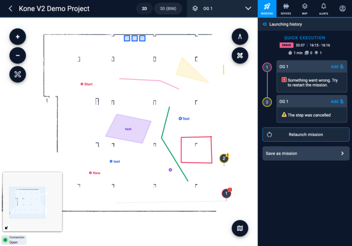
- Added error messages when something went wrong
Improvements for robot owners and manufacturers
Health monitoring enhancements
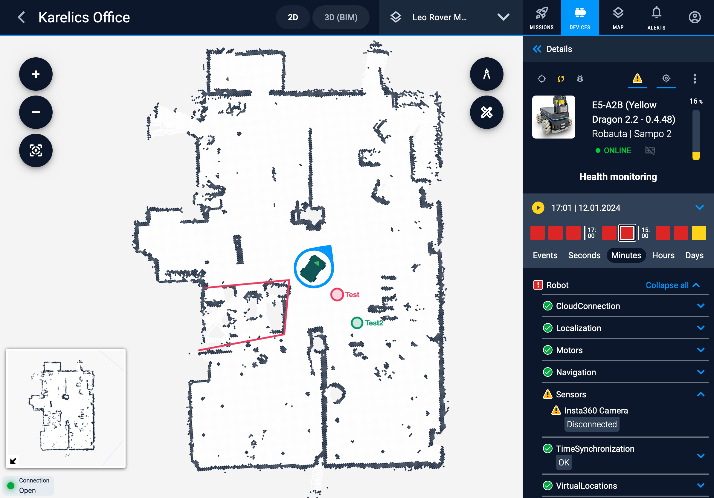
- Added grouping for robot health monitoring
- Adjusted diagnostics permissions handling for devices.
- Enriched diagnostics history with additional values.
- Improved loading speed for health monitoring history.
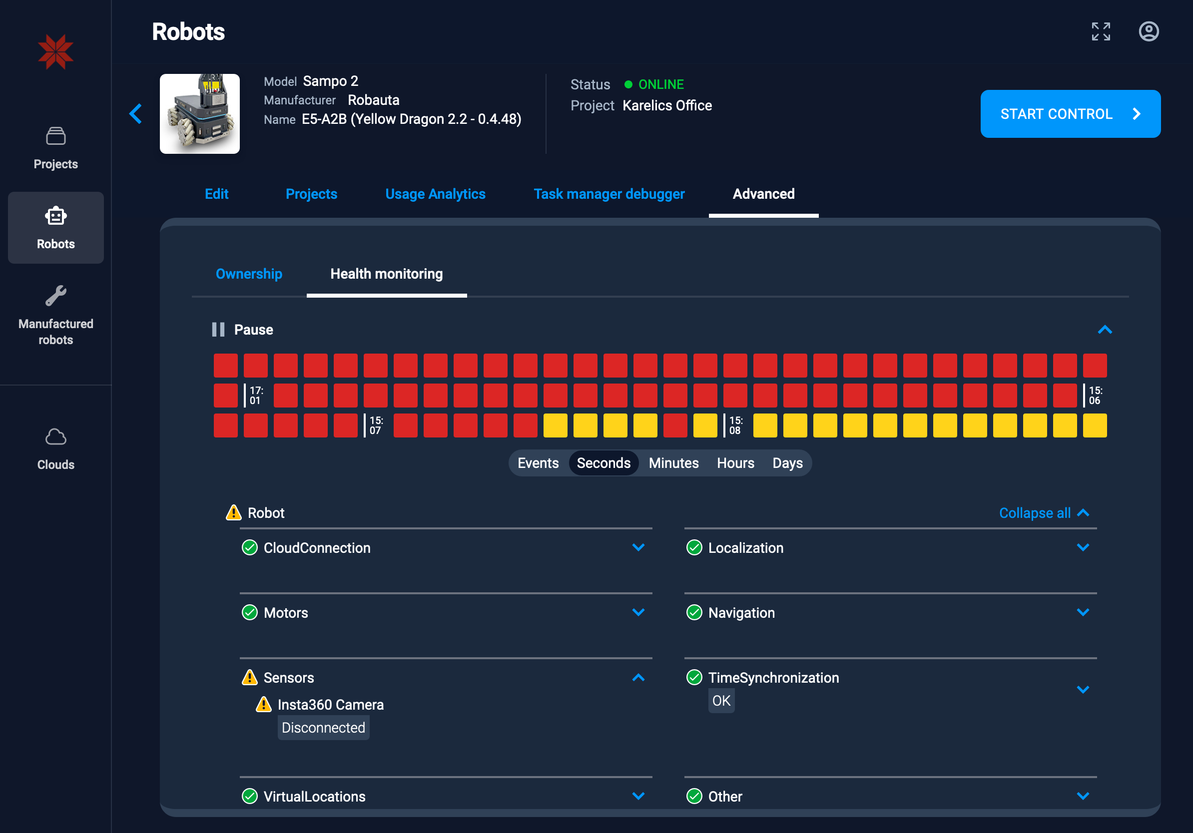
Added the possibility to see the health monitoring inside a robot details UI. Useful for both robot manufacturer and robot owner.
Battery Level Display
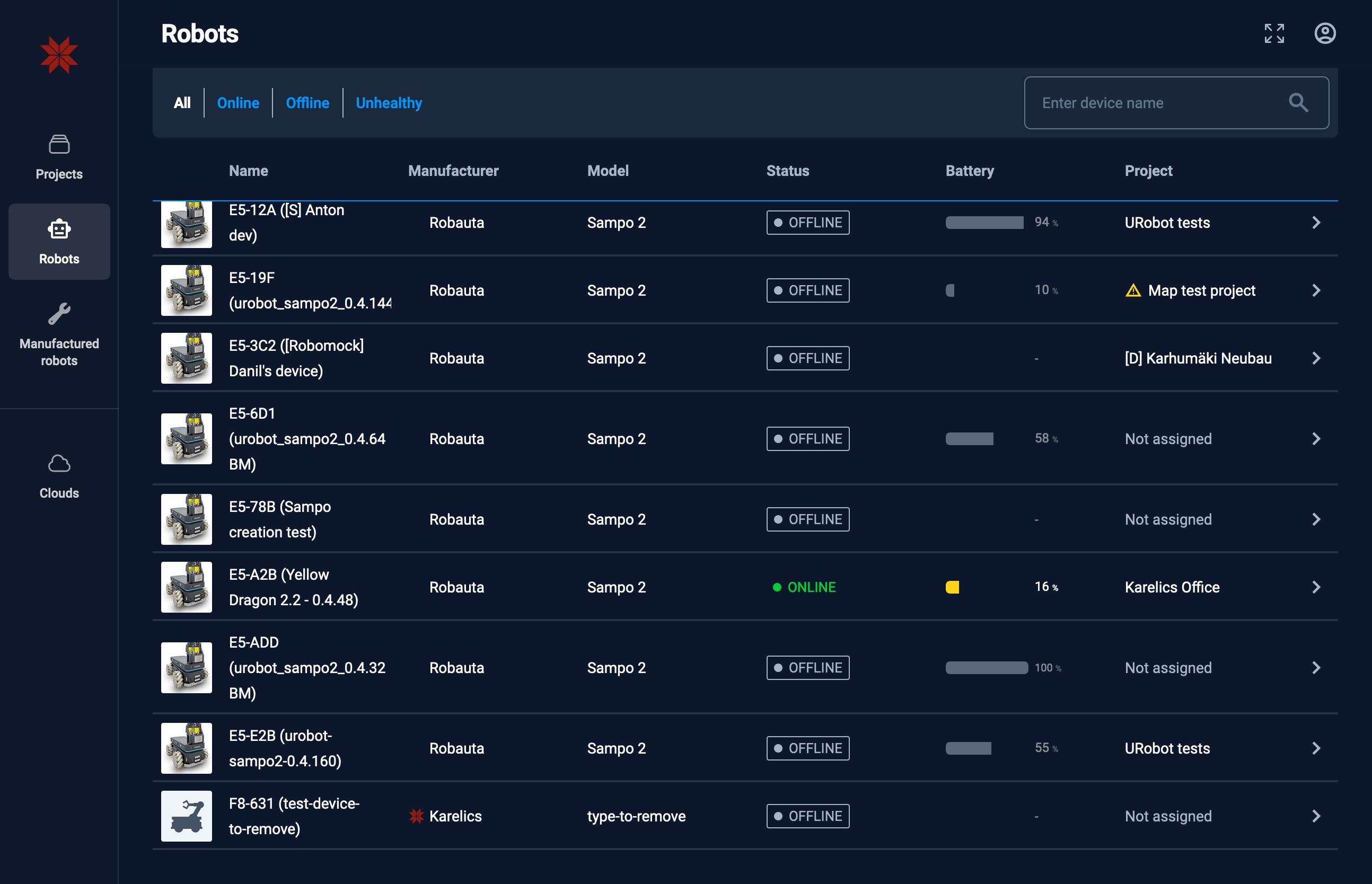
Added battery level information to the list of devices.
Maps Improvements
Rendering Optimization
- Improved rendering of maps tiles at intermediate zoom levels.
- Improved rendering for Retina display in tiles.

Added the icons to the maps list. Now it is easier to understand what map type it is.
Plan Editing Behavior
We have a lot improved the possibility to match the building plan with the map provided by robot. Now it is possible to easily rotate the plan or stretch it to fit the map. Yes, sometimes plans especially from older buildings don’t match the scale of the building…
Bug fixes and improvements
- Resolved an issue with inviting existing users to projects.
- Fixed an error text related to inviting existing users to projects.
- Improved the maps syncing for new maps and for removed maps
- Improved user experience when map had been removed by other user in runtime

