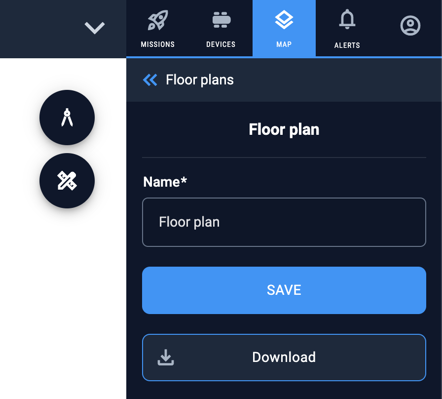
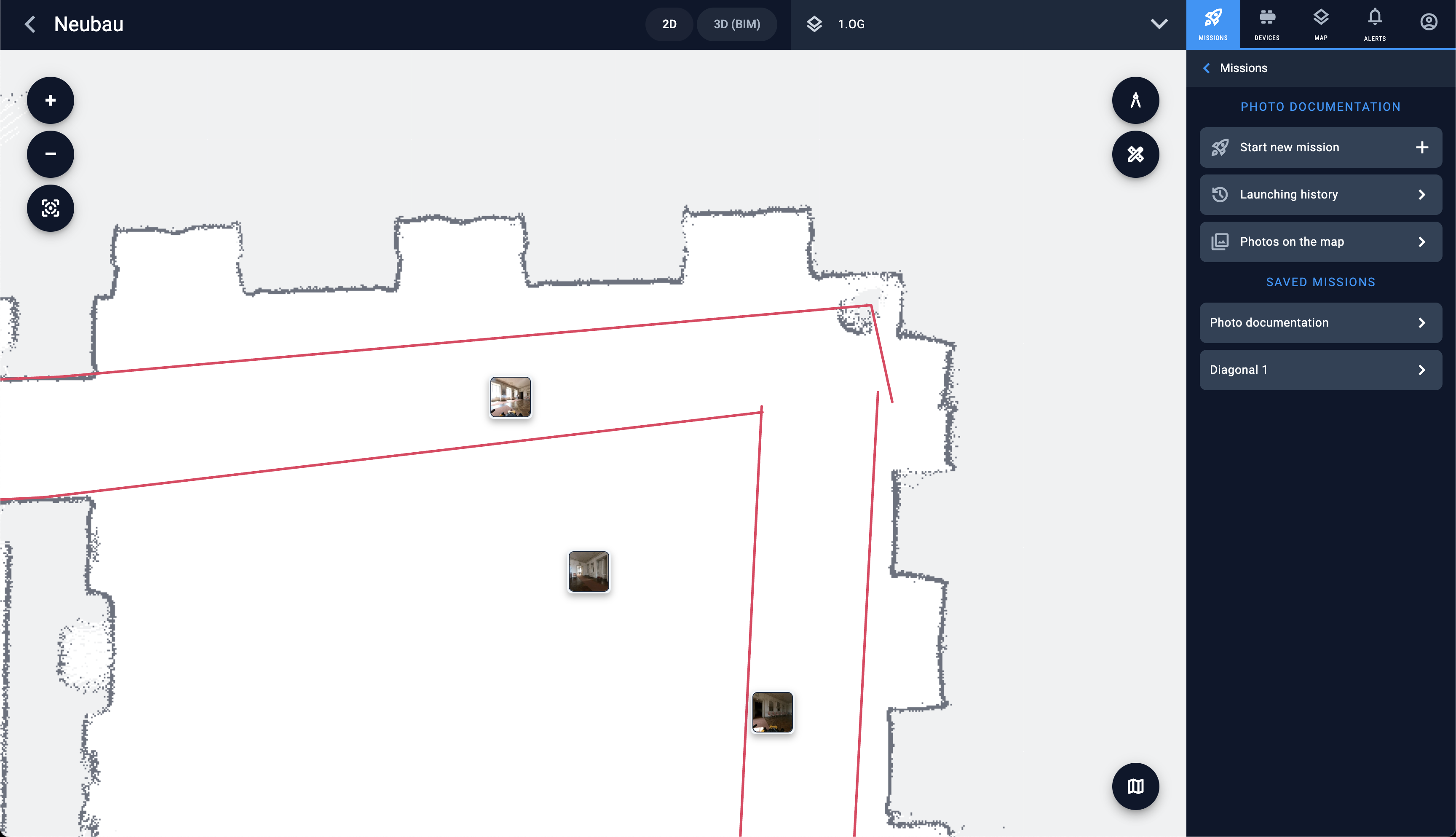
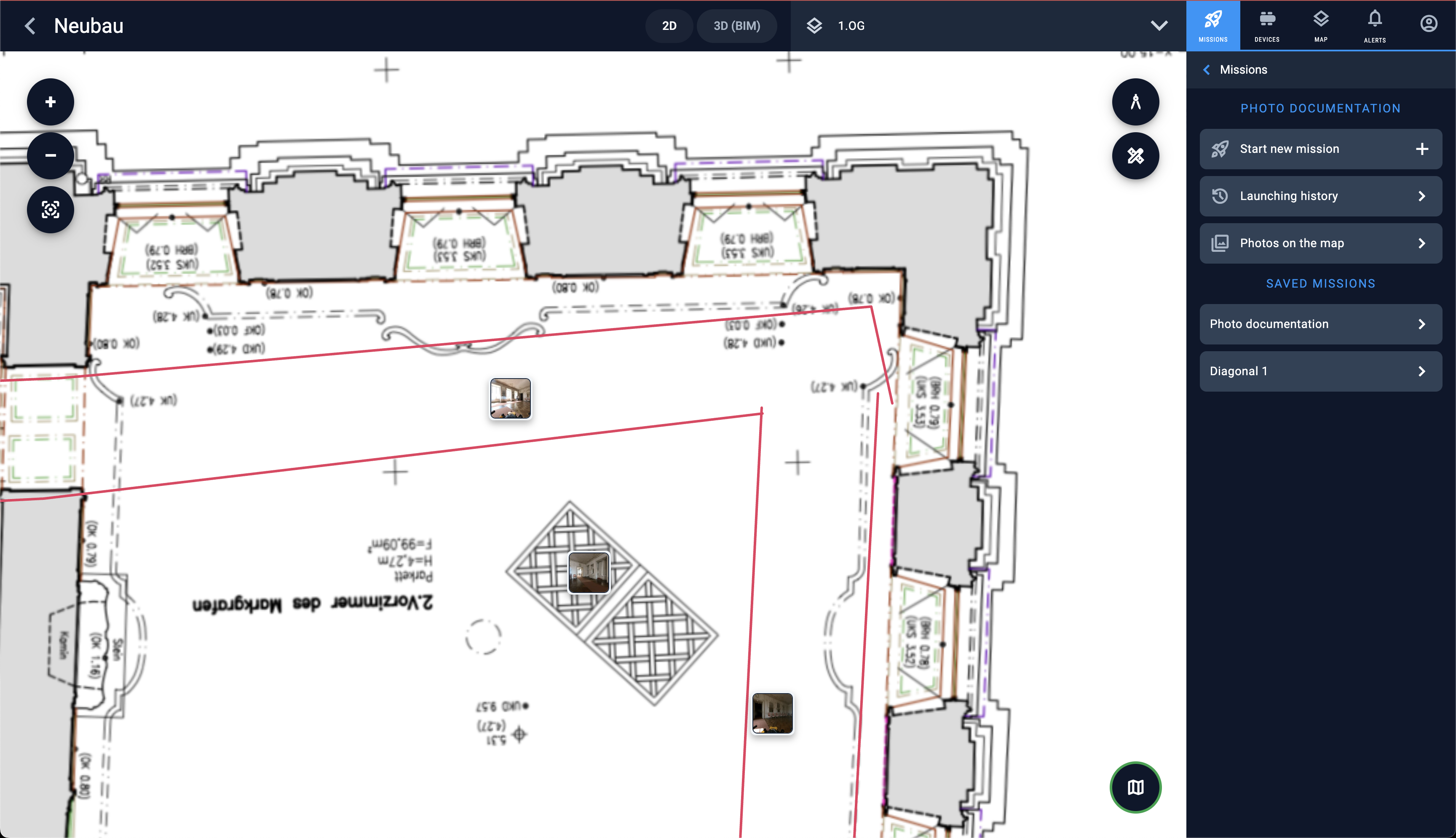
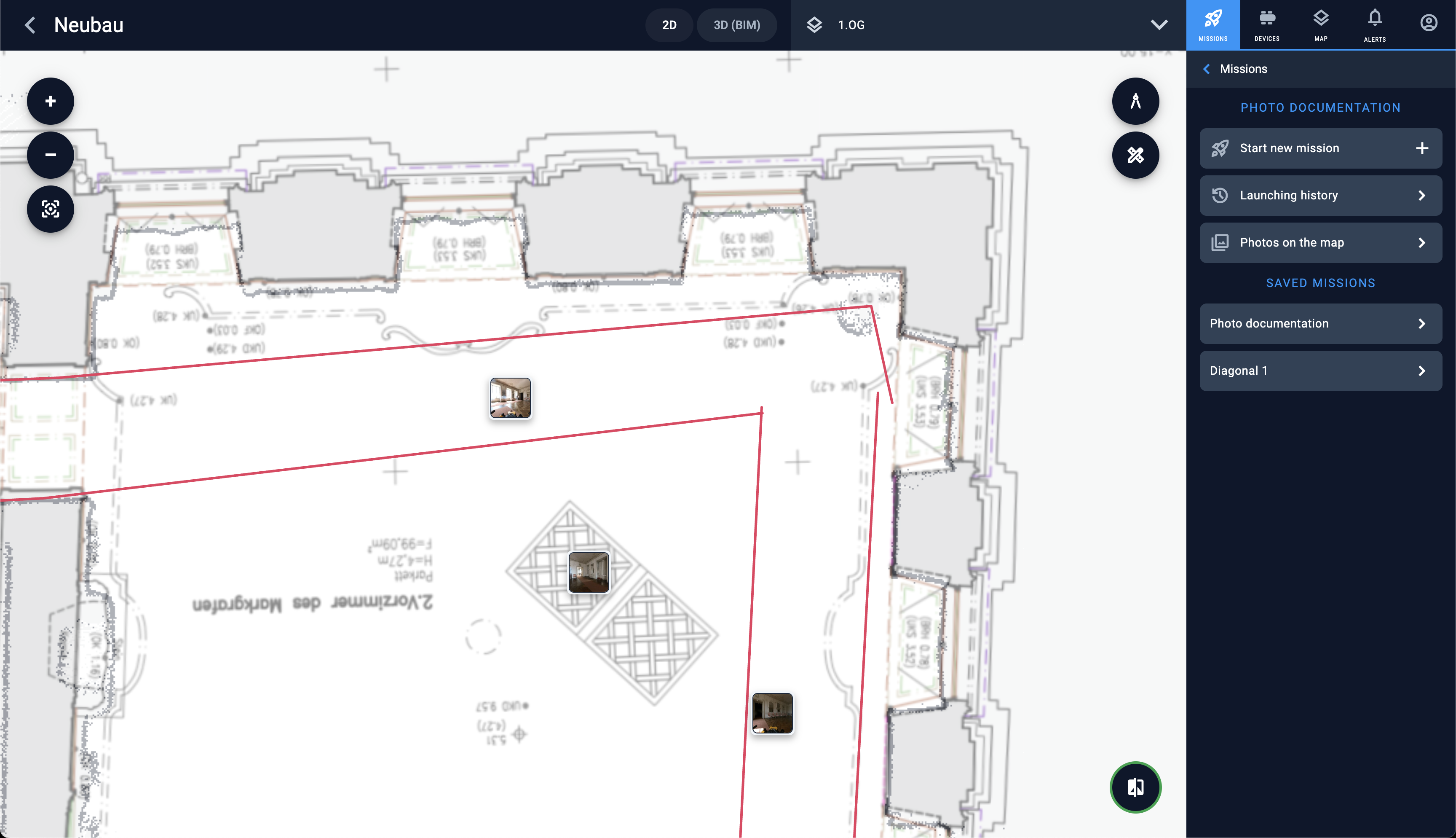
Floor plans support
New map rendering engine
We have added a powerful tile server behind our maps with our new map rendering engine. We no longer load the full map on the client. Because of this change our robot fleet management works on huge maps as good and reliable as on small maps. In addition we have optimised the way the tiles are loaded on the client achieving a very good usability.
Photo documentation improvements
Show all photos on the map

When photo documentation mission is chosen we are showing all photos on the map. When jobsie manager zooms in the map – only visible on that part of the map photos will be shown.
Since there might be too many photos to be shown or some of them had been done from the same position – we group them in clusters. To see the pictures of the cluster – just tap on it.
Mission management improvements
Mission step attachments improvements
Fullscreen preview for attachments
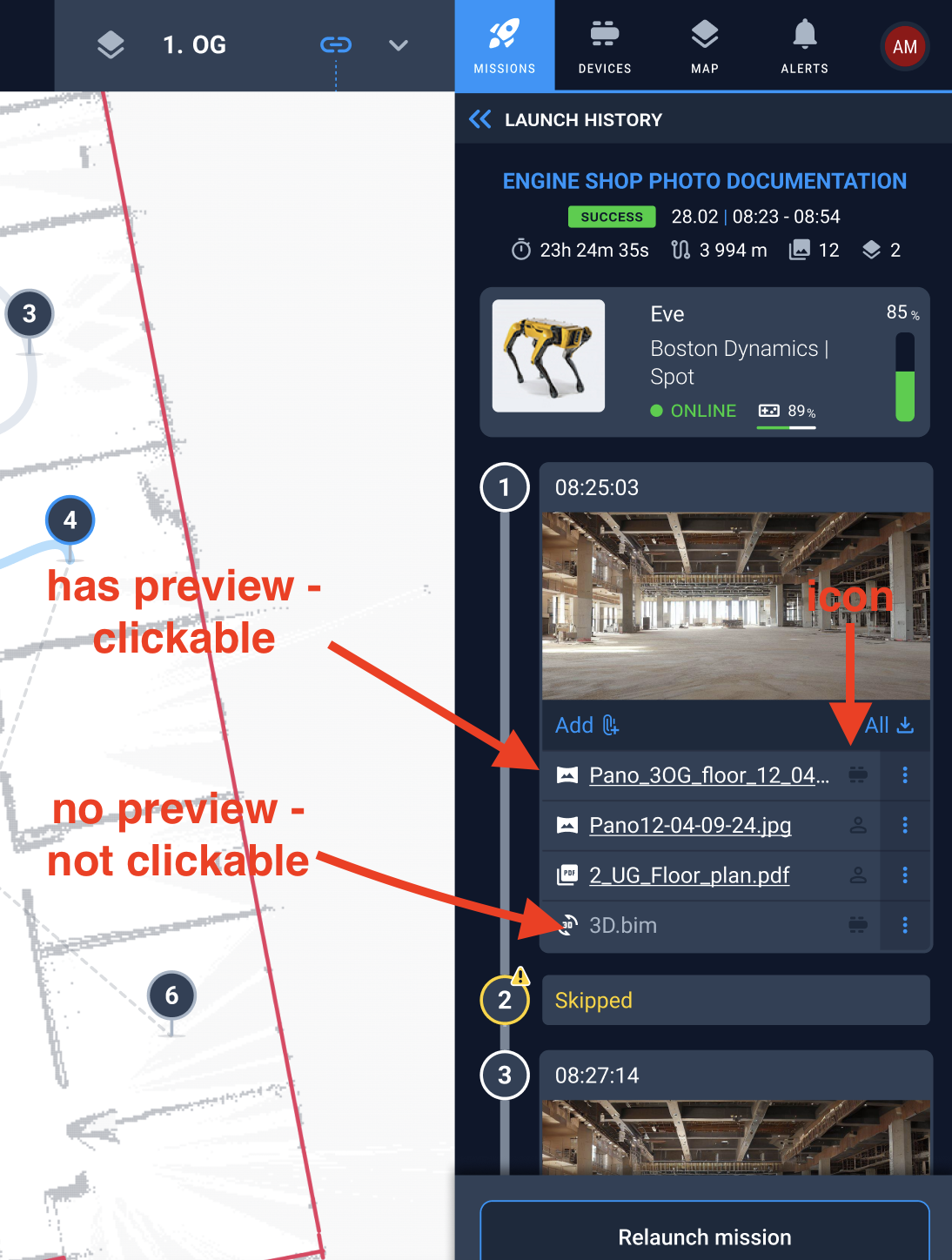
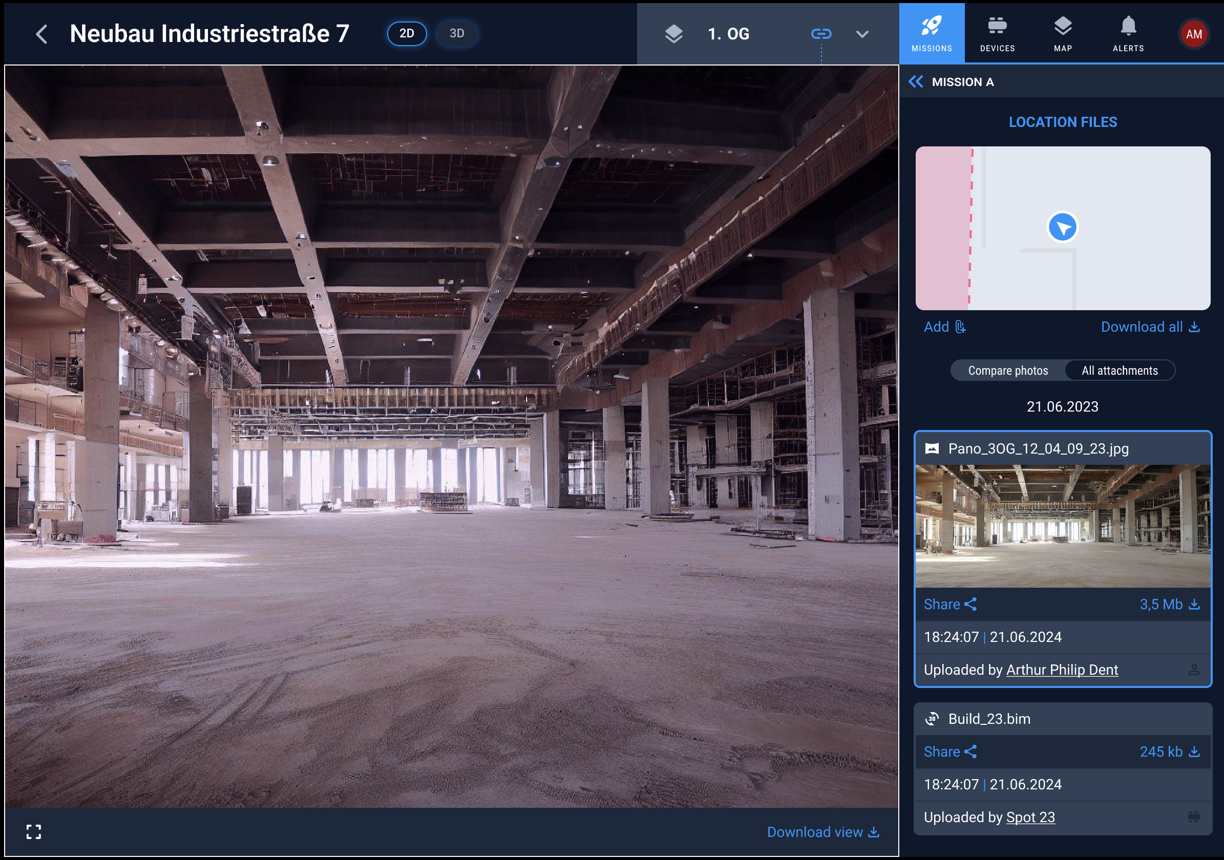
Now when preview has an attachment users can open it in a full screen preview. The icon helps to determine if an attachment was uploaded by a robot or by a human user. User can switch from one attachment of a step to another while it is opened in a full size preview.
In addition we show the full name of the user or robot who has uploaded it.
Loader on uploading an attachment
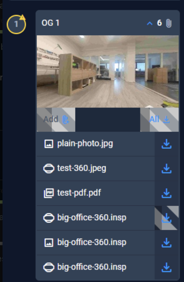
Now while attachment is being uploaded we show a proper loader giving the user an information when it is completed.
Missions usability improvements
Added dates as separator of executions
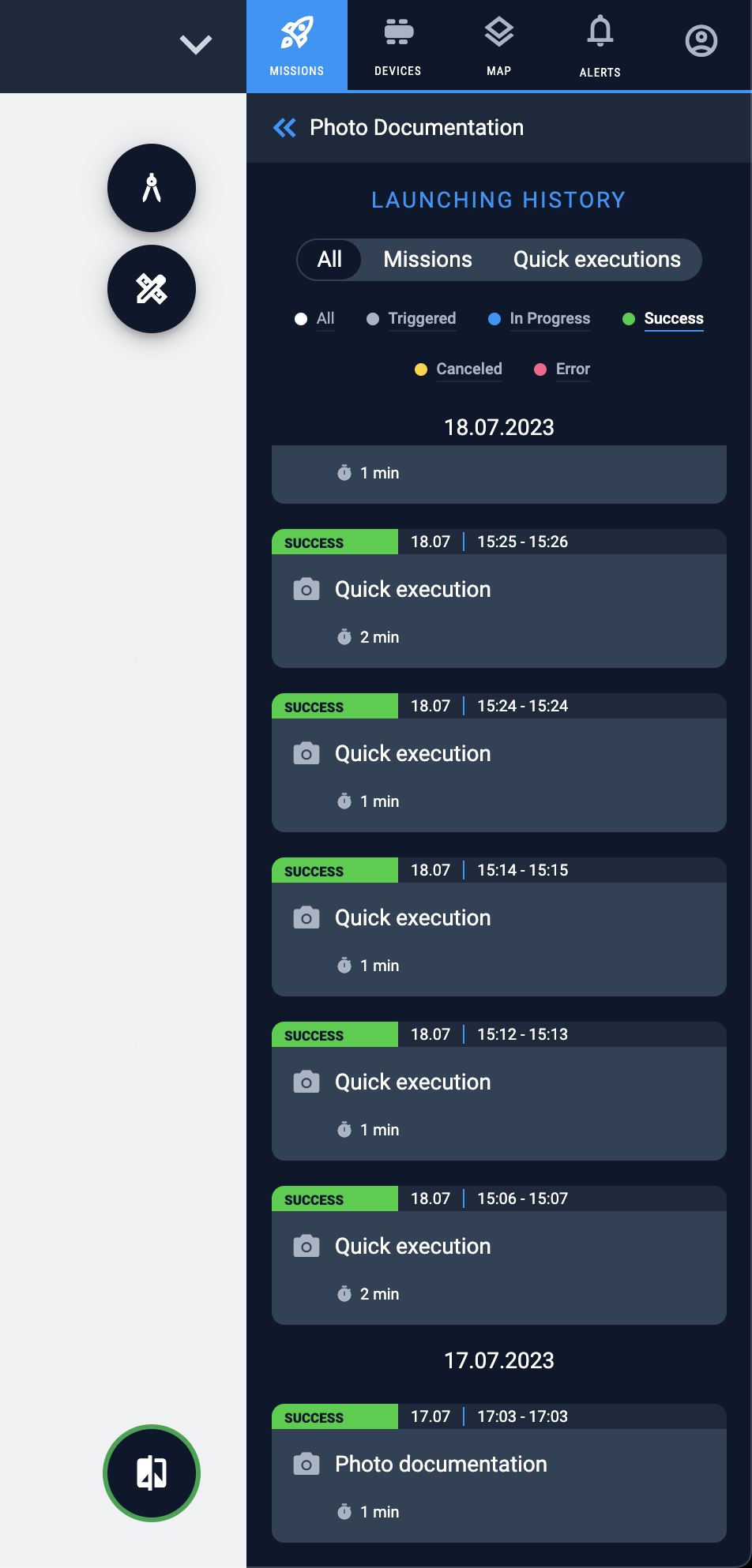
Now it is more easy for construction users to determine which execution should be opened from the list. Thank you for your feedback.
Clicking on the step on the map scrolls to it in the list
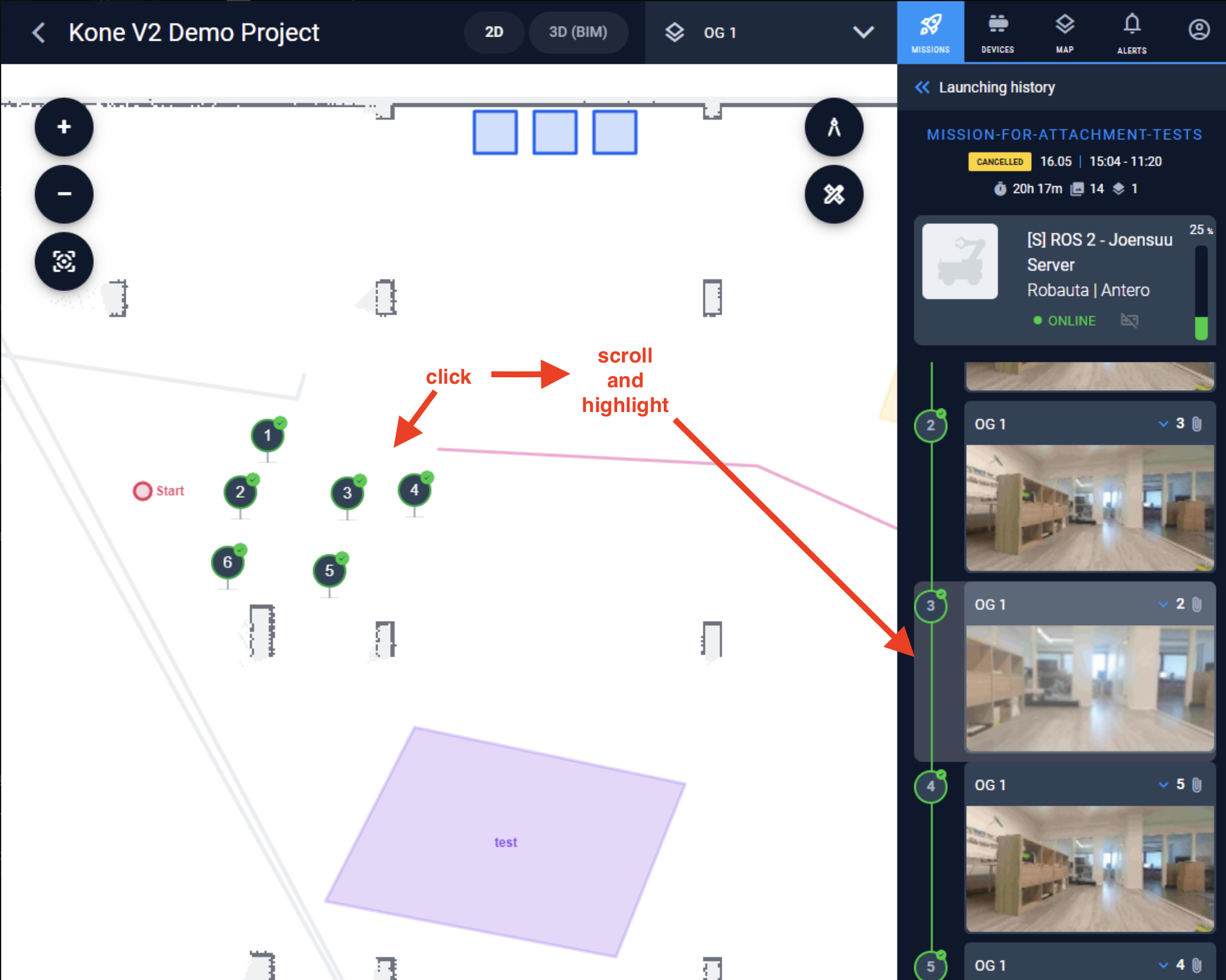
When jobsite worker clicks on the mission step on the map – the corresponding step will be highlighted and scrolled to in the sidebar to give results quicker.
Other improvements
General improvements
ROS2 Robot health monitoring
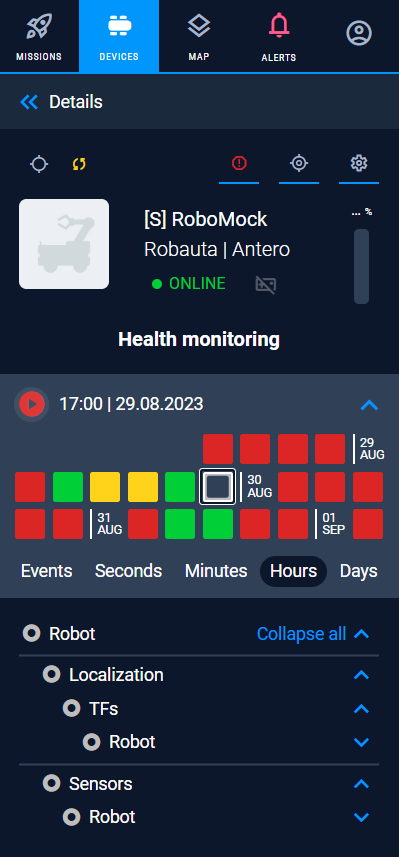
We have improved our health monitoring by adding the ability to see the grouped history of past health statuses.
Operator UI with animation
We added animation to our UI making it more comfortable to use.
Showing external badge in the list of users

Now we show External badge also in the list of users of the project making it clear for construction project manager if there are users from other companies having access to some project data.
Improved visualisation of offline state
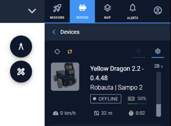
When device is offline – now more data is gray making it visually more clear.
New logic of adding new floor
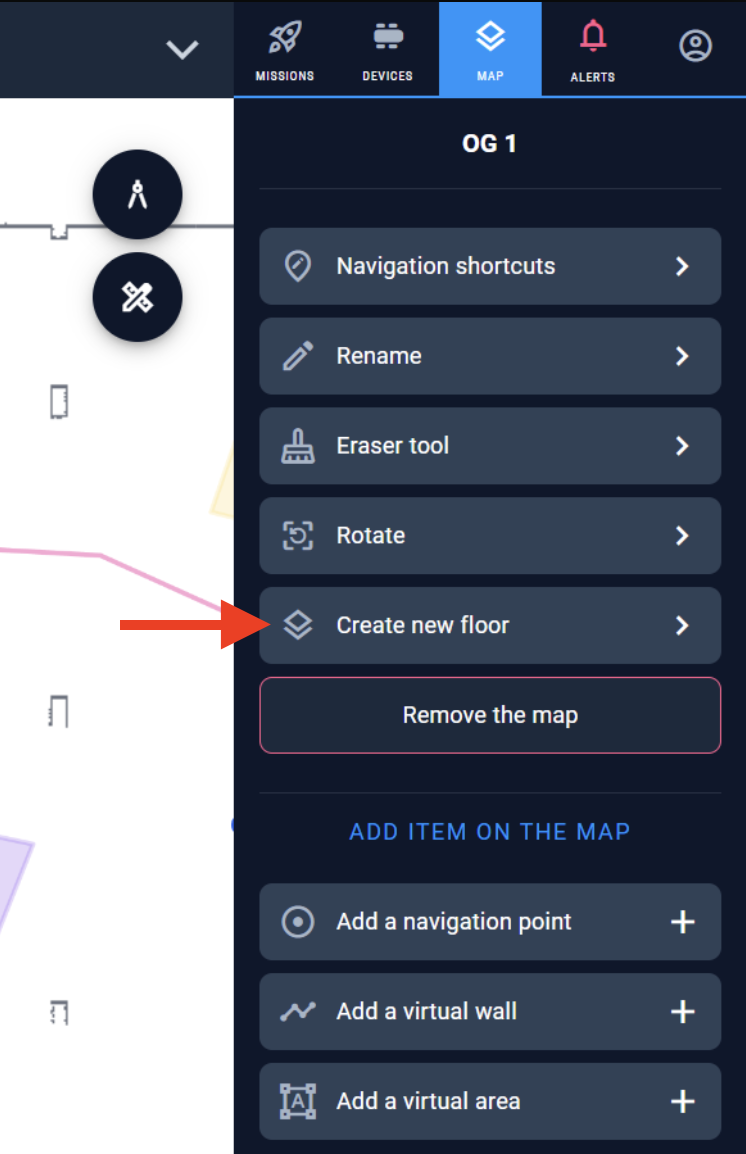
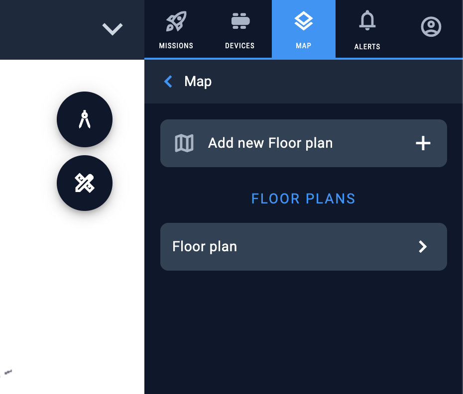
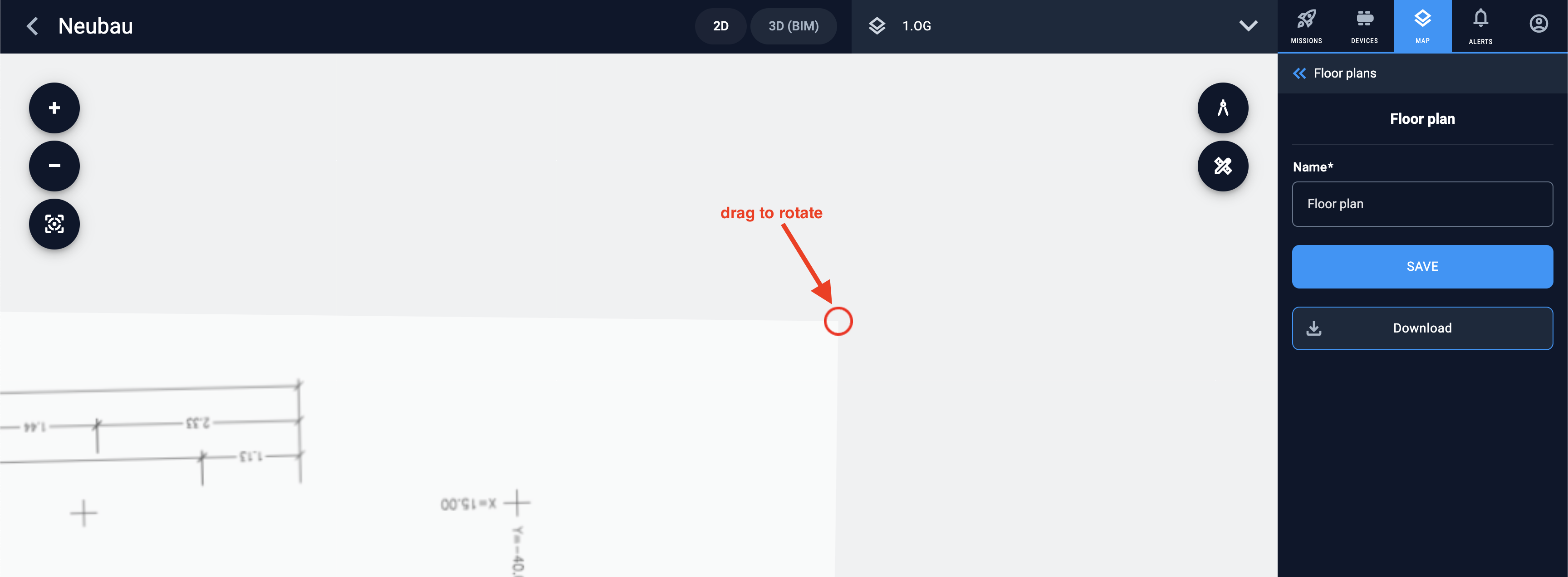
Now there is a new option to create new floor that is available directly form the Map menu. Choose floor type and device to map it and a new linked floor will be added to the robot fleet management and synchronised between all robots of the project.
Previous solution is available too.
Stability improvements
- In some situations mission status was not updated when mission was ended with error. Now it is more consistent.
- Now zoom with touchpad is slower. Was a new issue. Now works as good as before.
- Added caching of photos to speed up reopening of photos and their thumbnails.
- Improved the work with attachments downloaded from robots. More clear answers for download in progress and error downloading.
- Roles were not shown in project users list. Fixed.
- Added support for “CHANGING_MODE” when switching between mapping and localisation modes.
- Removed redundant map tiles requests
- Improved algorithm of termination of “hanging” missions in several border situations
- Improved filtering speed when client owns many robots

